April 2015
Most European capital cities have a wealth of maps - old maps - fascinating documentation of landscape change. Well in the area of the Delta of the Kifissos and Ilissos rivers we do have this kind excellent documentation. A marsh has existed down there and it was a well known wildlife spot for hunters and naturalists since antiquity.
Here I post some maps, and some modern ones also.
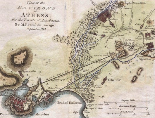 |
| 1785: Extensive wetland area within the Delta of the Kifissos and Ilissos rivers at Phaleron Bay. Athens was a village then. |
 |
| Late 18th Century: Note the caption "Marsh of Phalerum" in the Phaliriko Delta area. |
 |
| Late 19th century map showing Phaleron Bay with the rivers Kifissos, extensive coastal wetlands and dunes. |
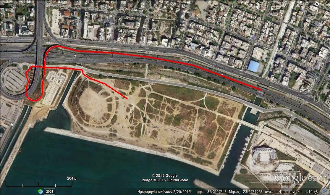 |
| Map from Google Earth (recent photo) with the red line showing access route to the area (By St. Bourdakis) |
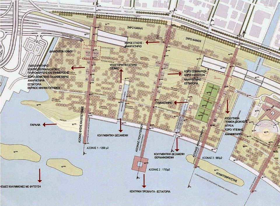 |
| Proposed "City Park" park plan for the Moschato Coast. The idea was to build in a multiple-use multi-themed park with expensive features (pools, walkways, much concrete). |
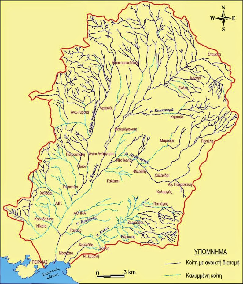 |
| The rivers of Athens. Map showing the ones that are still open (dark) and the ones that are totally covered up (light line). Publisher unknown. |


